WESTRIAN ACADEMY OF MAPS
AND FLAGS
 (WAMF)
The Making of the Fiarrian
Master Topo Map:
A tremendous amount of work
goes into making a simple looking Continental Master Topo Map. WAMF
has already completed such a map for the continent of Nuarmia, at the joint
commission of Armatirion and Westria. That map was published many
months ago, and has become the definitive authority for topographical information
for that land mass. With the recent emergence of several nations,
and the resulting virtual 'revival' of Fiarria, WAMF was commissioned by
Ordland and the IWK to do the same for Fiarria. The following page
takes you through the process taken by the WAMF to arrive at the final,
complete, accurate map:
I.) First, all existing
mapping information is compiled:
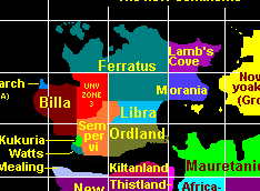
1.) A rough continental
map for Fiarria (from the Central Geographic Authority, Christiana):
 2.) An existing conceptual
topo map of the Ferratus Directorate (from Ferratu sources):
2.) An existing conceptual
topo map of the Ferratus Directorate (from Ferratu sources):
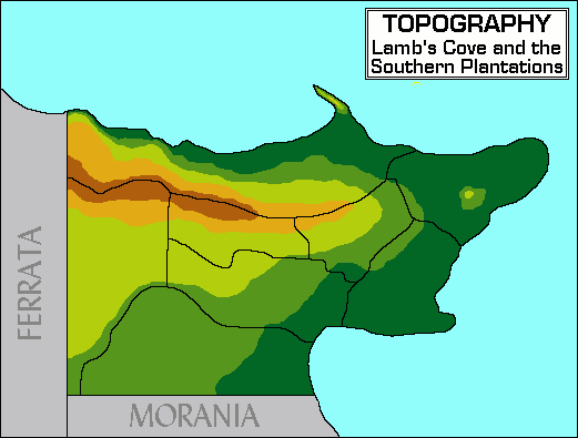
 3.) An existing detailed
topo map of Lamb's Cove (from Covian sources):
3.) An existing detailed
topo map of Lamb's Cove (from Covian sources):
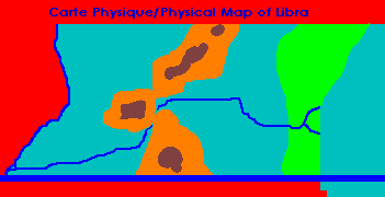
 4.) An existing conceptual
topo map of Libra (from Libran sources):
4.) An existing conceptual
topo map of Libra (from Libran sources):
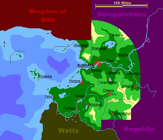
 5.) An existing skewed and
very conceptual topo map of Billa (from Billan sources):
5.) An existing skewed and
very conceptual topo map of Billa (from Billan sources):
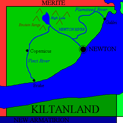
 6.) An existing conceptual
map of Ordland (from Ordlandic Authorities):
6.) An existing conceptual
map of Ordland (from Ordlandic Authorities):
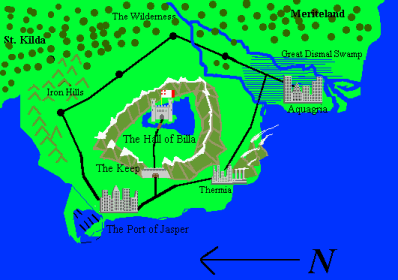
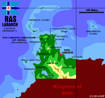
 7.) Existing WAMF maps of
IWK and Ras Lanarch:
7.) Existing WAMF maps of
IWK and Ras Lanarch:
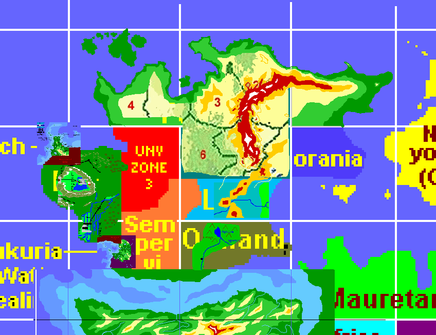
II.) Second, a scaled
composite map is made:
As you can see above, all
these original maps are of different scales, and use different formats.
WAMF then tries to best combine all the existing information, and match
up their scales to the desired size. Thus, a very rough working composite
is obtained, on top of which then the necessary refinements can be made:
 As you can see, topographic
information was not available for all regions of Fiarria. While WAMF
began their work on the map, various scientific means were mobilized to
fill in the gaps with additional surveys, satellite imaging, and aerial
photography. WAMF requested the Geographic Authority of the Sempervirens
Republic to survey their entire nation for the purpose of compiling this
map.
As you can see, topographic
information was not available for all regions of Fiarria. While WAMF
began their work on the map, various scientific means were mobilized to
fill in the gaps with additional surveys, satellite imaging, and aerial
photography. WAMF requested the Geographic Authority of the Sempervirens
Republic to survey their entire nation for the purpose of compiling this
map.
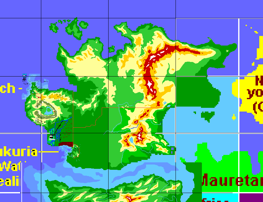
III.) Third, refinements
and detail work begins as new surveys arrive:
Work progresses well in
the areas where all information is existing. While Lamb's Cove and
Ferrata are quickly developed from their respective maps, slowly, aerial
surveyors are transmitting additional information on UNV Zone 3.
Still waiting for the information from the Sempervirens Republic.
Unfortunately, a setback: Aerial surveyors could not obtain permission
to fly over Morania, and therefore, for the time being, that area will
need to remain blank on our new map.
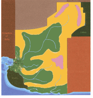
IV.) Continued refinements,
as all information comes in:
The Sempervi information
is finally received, and can now be incorporated in the overall map.
The brand new Sempervi survey map, which will be further refined by WAMF
surveys:
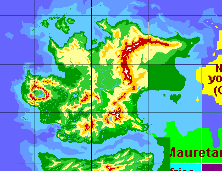
 Now all the relevant information
can be fused together, with the exception of Morania. More minute
detail is added, oceanic surveys are also mapped out at this time:
Now all the relevant information
can be fused together, with the exception of Morania. More minute
detail is added, oceanic surveys are also mapped out at this time:
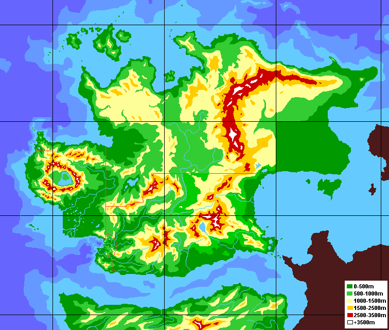
V.) The final clean-up
and adjustments:
The last rough edges are
removed, and the map is cropped, and nicely finished with a legend:
VI.) Revisions:
The last step in any map's
creation is international scrutiny, and revisions to eliminate any errors
or omissions. For this particular map, that will also include the
addition of the Moranian survey information!
* * *
All maps made by WAMF are property of WAMF,
and may not be displayed, distributed, or reproduced without express written
consent of WAMF. Copyright (C) 299 WAMF. All Rights Reserved.